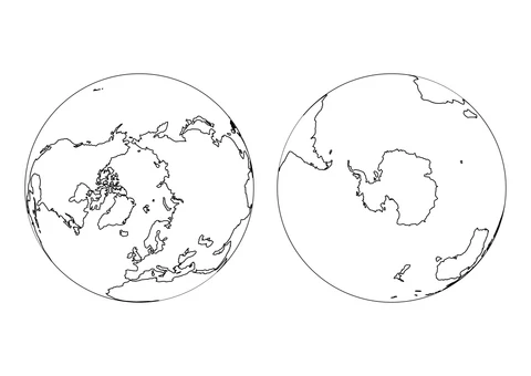
The World from the North and South Poles
medium

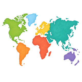
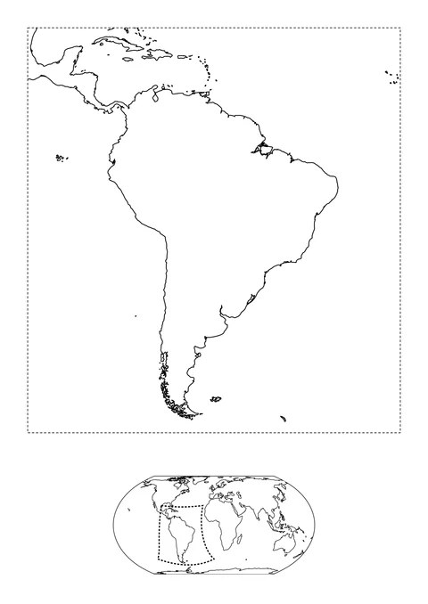
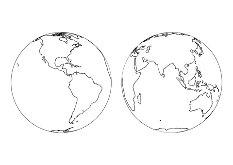
Explore printable world and regional maps with coastlines based on Natural Earth geographic data. Color continents, compare views from the poles, or look more closely at selected lakes and rivers. Regional sheets include a small world map to show their location.