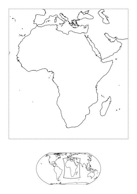
Africa and Its World Location
detailed

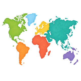
Explore printable world and regional maps with coastlines based on Natural Earth geographic data. Color continents, compare views from the poles, or look more closely at selected lakes and rivers. Regional sheets include a small world map to show their location.
detailed
medium
easy
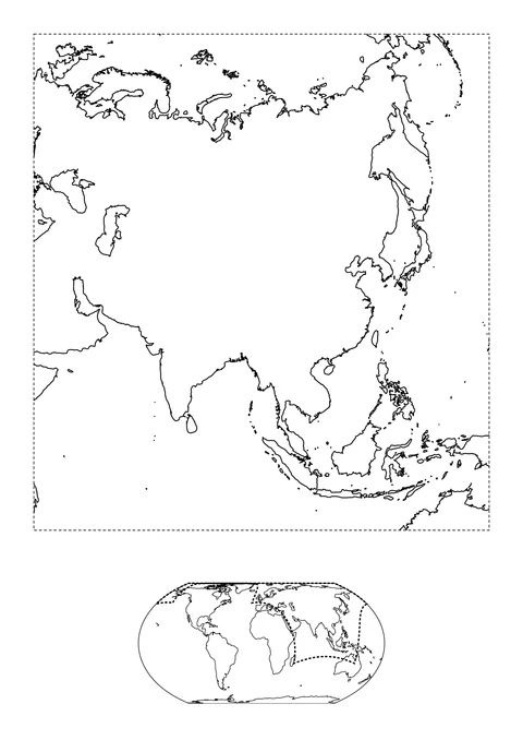
detailed
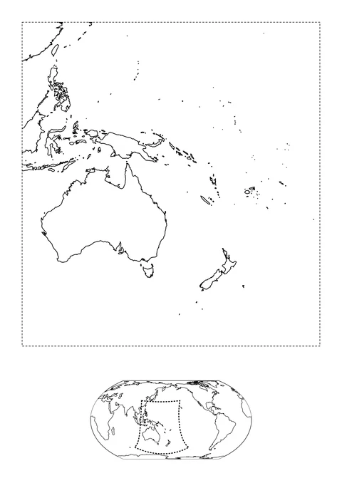
detailed
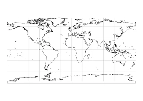
detailed
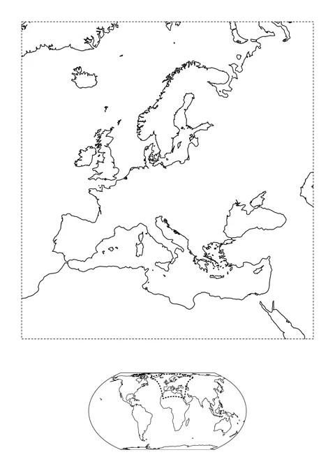
detailed
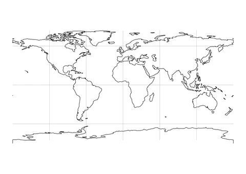
medium
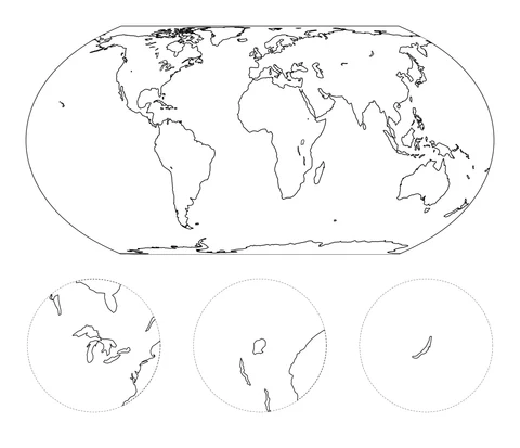
detailed
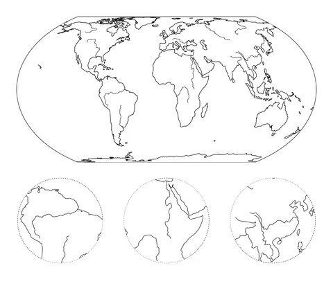
detailed
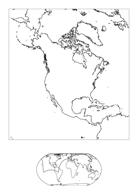
detailed
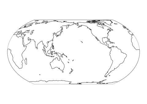
medium
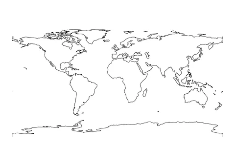
A wide view helps compare locations; a close-up gives you more room around a coastline.
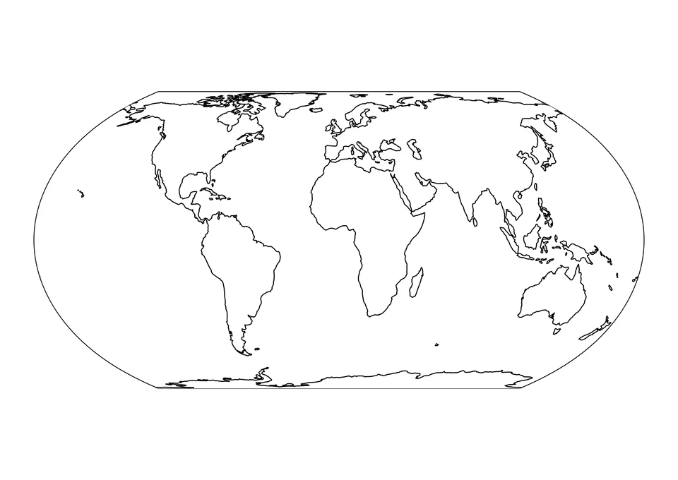
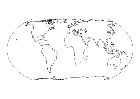
The curved frame shows the continents together without country borders. Choose it for a simple land-and-water color key.
Equal Earth World Map →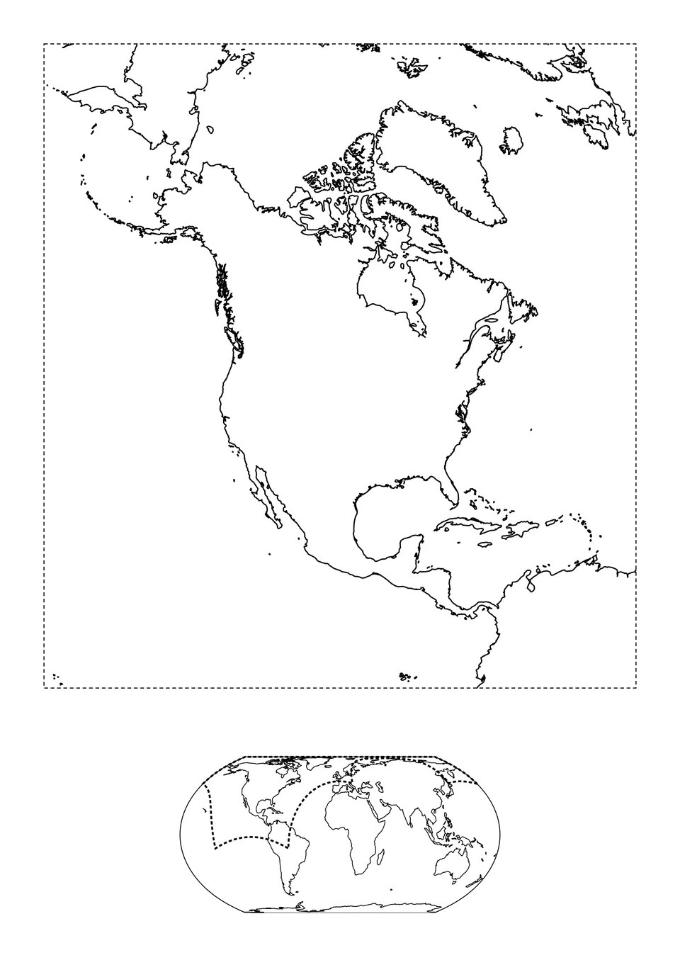
The large regional coastline has a small world locator underneath. Choose it to follow bays and islands at a larger size.
North America and Its World Location →Print the original line drawing below. Match the numbered areas to the color key and steps, then compare your result with the example.
Digital coloring example
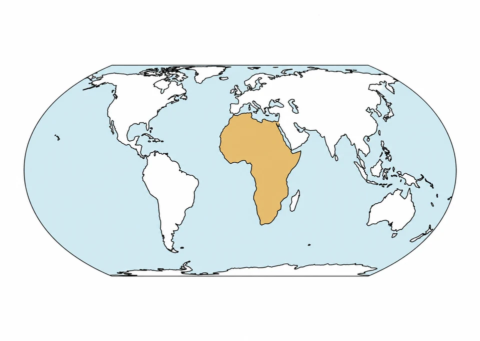
The color key should mean: ochre highlights Africa, blue means water and white means other land.
Write the three color meanings below the printed map. Ochre highlights a location here; it does not mean desert or show political borders. Use an atlas when a task needs country names, boundaries or accurate distances.