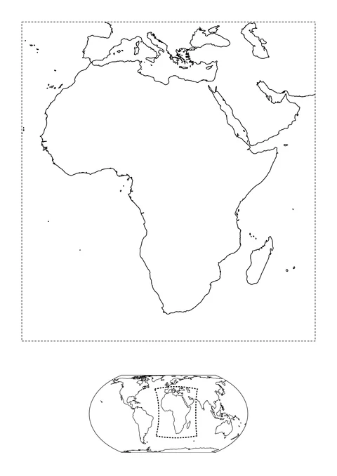
Africa and Its World Location
detailed

Ready for your favorite colors
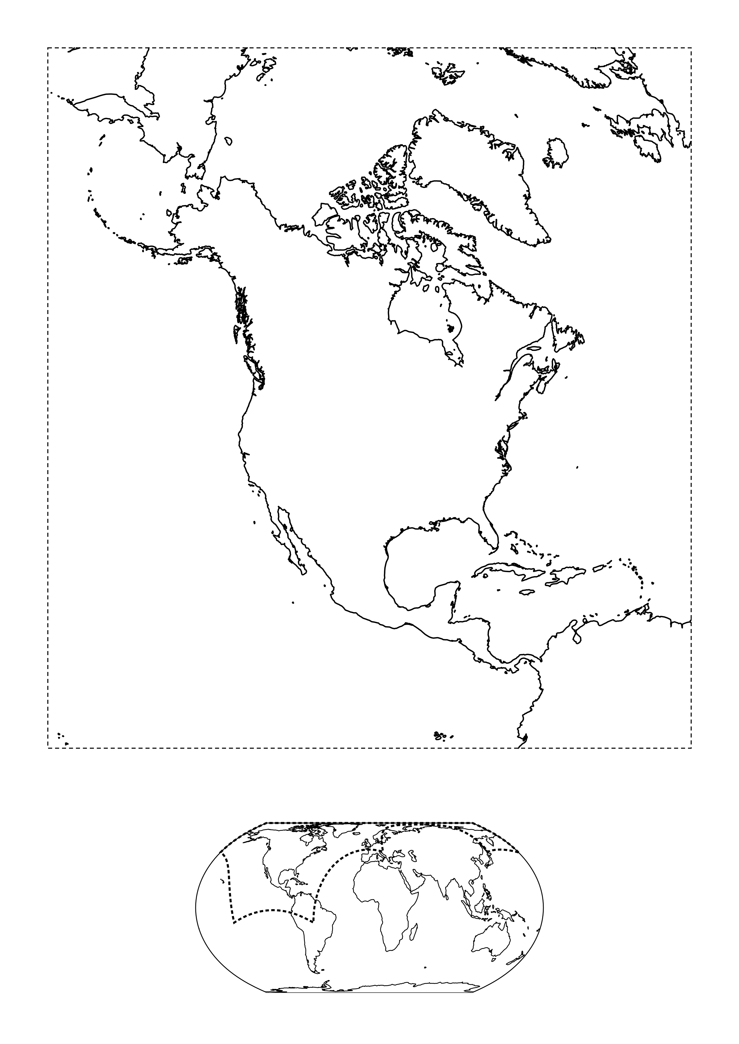
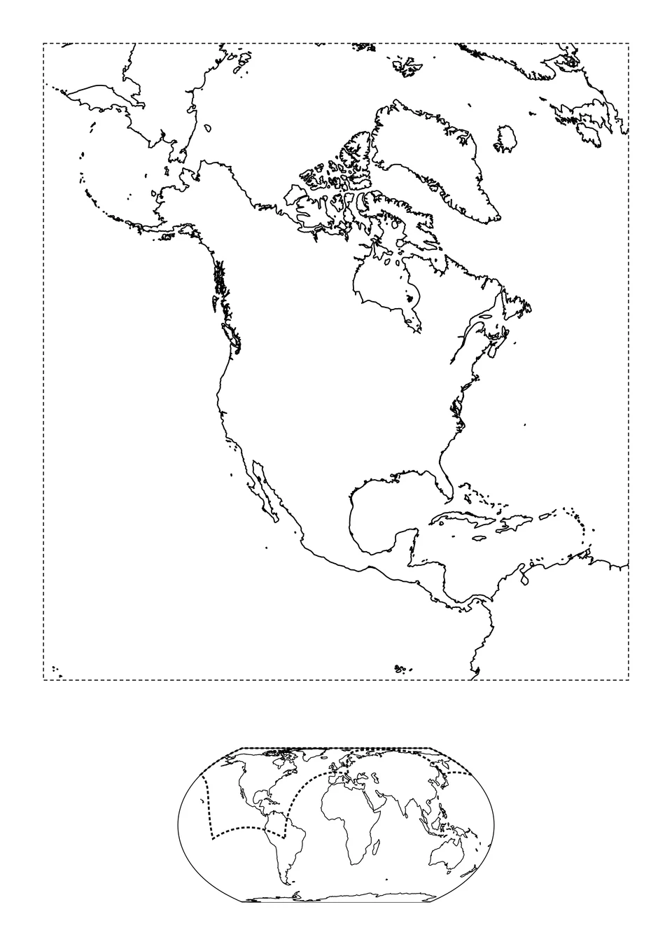
North America fills the main view, alongside Greenland, Central America and nearby islands. The small world map below locates this view. Dashed lines mark its limits, not coasts or country borders.
PNG image · 2550 × 3600 px
Print and PDF keep the full picture, with a 10 mm safe margin.
Activity: 0
The link opens the blank coloring page. Your personal text is not shared.
Send feedbackSource & license
Third-party artwork keeps its original license. Follow the license shown for permitted uses.
For image permissions and sharing information, see usage rights.
The PDF uses the original image; it does not add resolution. See our printing guide for paper settings.