
Make a Neighborhood Map with Photo Coloring Pages
Turn a few familiar-place photos into small drawings for a handmade paper map. Arrange the landmarks by their approximate relationship and add labels and paths yourself.
A handmade display map with familiar place pictures, labels and a route drawn by you.
An idea for the finished piece
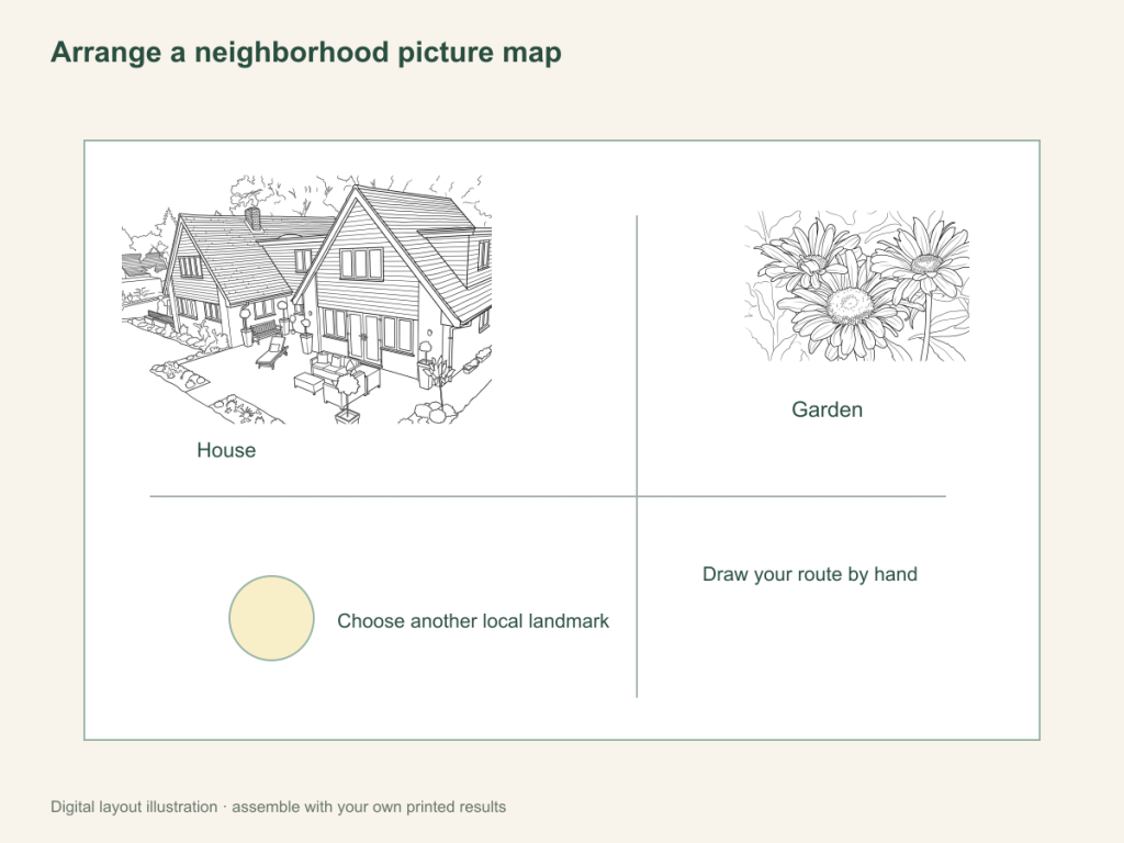
Use this paper activity illustration as a guide, then assemble your own printed pictures.
Gather what you need
- Three photos of chosen public landmarks or familiar places
- One selected result per photo, printer and coloring materials
- A large sheet, pencil, glue and scissors for preparation if cutting panels
Choose a drawing that fits this activity
Choose a few recognizable public places or permitted building photos. Keep meaningful surroundings for an AI scene, or use Free for clear facade edges. Compare doors and main shapes before printing; arrange the route on paper rather than treating the drawing as measured map data.
FreeConvert on your device, with no account or credits.
AIChoose drawing settings, sign in and submit with the displayed credits.
Arrange places into your paper map
Choose places that help tell the route
Use a library, a park entrance or another public landmark relevant to your activity. Select photos with clear building or landscape shapes. Avoid including private address information when it is unnecessary.
Convert and check each landmark
Use the house or landscape tool and inspect the feature that makes the place recognizable. A changed window or sign may not matter for a simple landmark, but compare the main outline with the original.
Plan positions before attaching pictures
Print the chosen drawings and color them. Place them on the large sheet, leaving room for a start point, paths and labels. Use your own knowledge to arrange approximate positions; this is a paper representation, not precise navigation.
Add labels and a path by hand
Write the place names and draw a simple route connecting the landmarks. Explain which place comes before or after another. If you add an invented stop, identify it as part of the imagined story.
Talk through the route
Trace the path with a finger and describe the landmarks in order. Try starting from a different place or taking another drawn branch, keeping real travel decisions separate from the paper activity.
Keep the map as a familiar-place display
Mount it or store it with the original photos. Its value is in arranging and discussing places you chose, rather than obtaining live directions.
When a place is hard to recognize
Use a closer photo, a larger panel or a handwritten label. Check the original for factual features rather than treating an AI drawing as a measured building record.
Help with paper size and marginsA ready-to-print page can work alongside your photo
These free coloring collections offer another picture for the activity, or a starting point when you do not want to use a photo.
Questions about Neighborhood photo coloring map
A handmade display map with familiar place pictures, labels and a route drawn by you.
Does the website access my location?
This activity has no location or mapping feature. You choose photos and arrange positions yourself.
Is the finished map accurate for navigation?
No. It is an approximate paper activity, not a route-planning service.
Is this the same as the imaginary camper route activity?
This uses photos of chosen familiar places to make landmarks. The camper activity draws pretend stops around a library coloring picture.
Does every building need its own conversion?
Each different source photo is converted individually. A route can start with only a few landmarks; reuse a selected result for additional printed copies instead of generating it again.
Choose your picture and make it on paper
A handmade display map with familiar place pictures, labels and a route drawn by you.